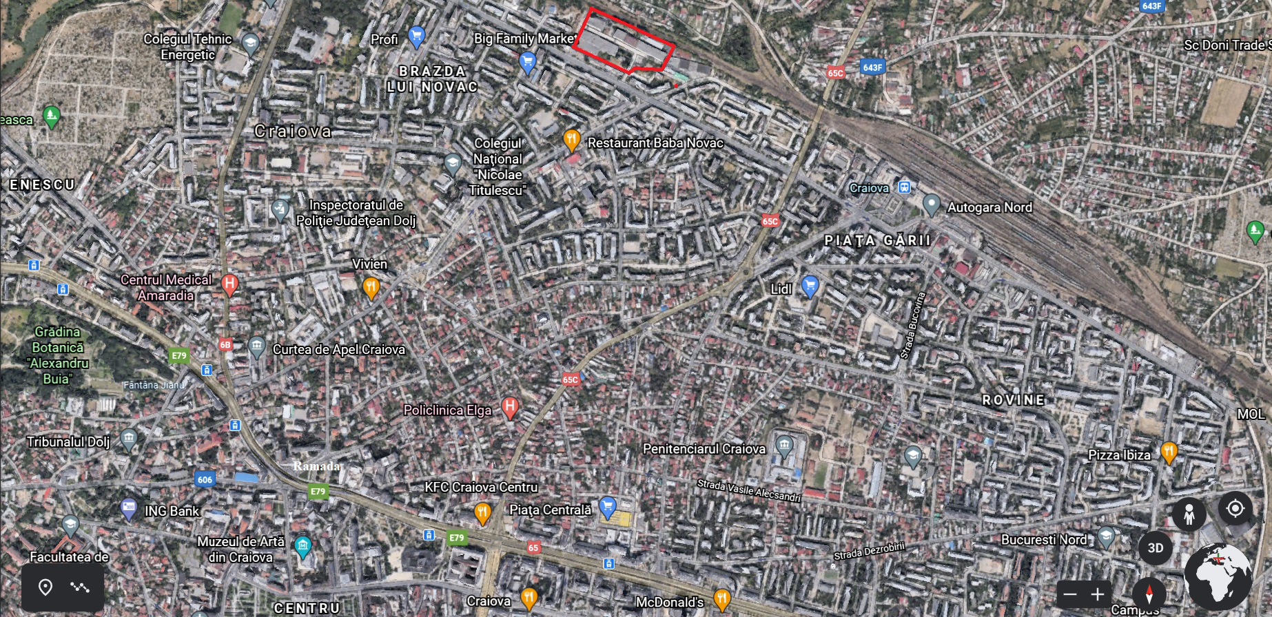
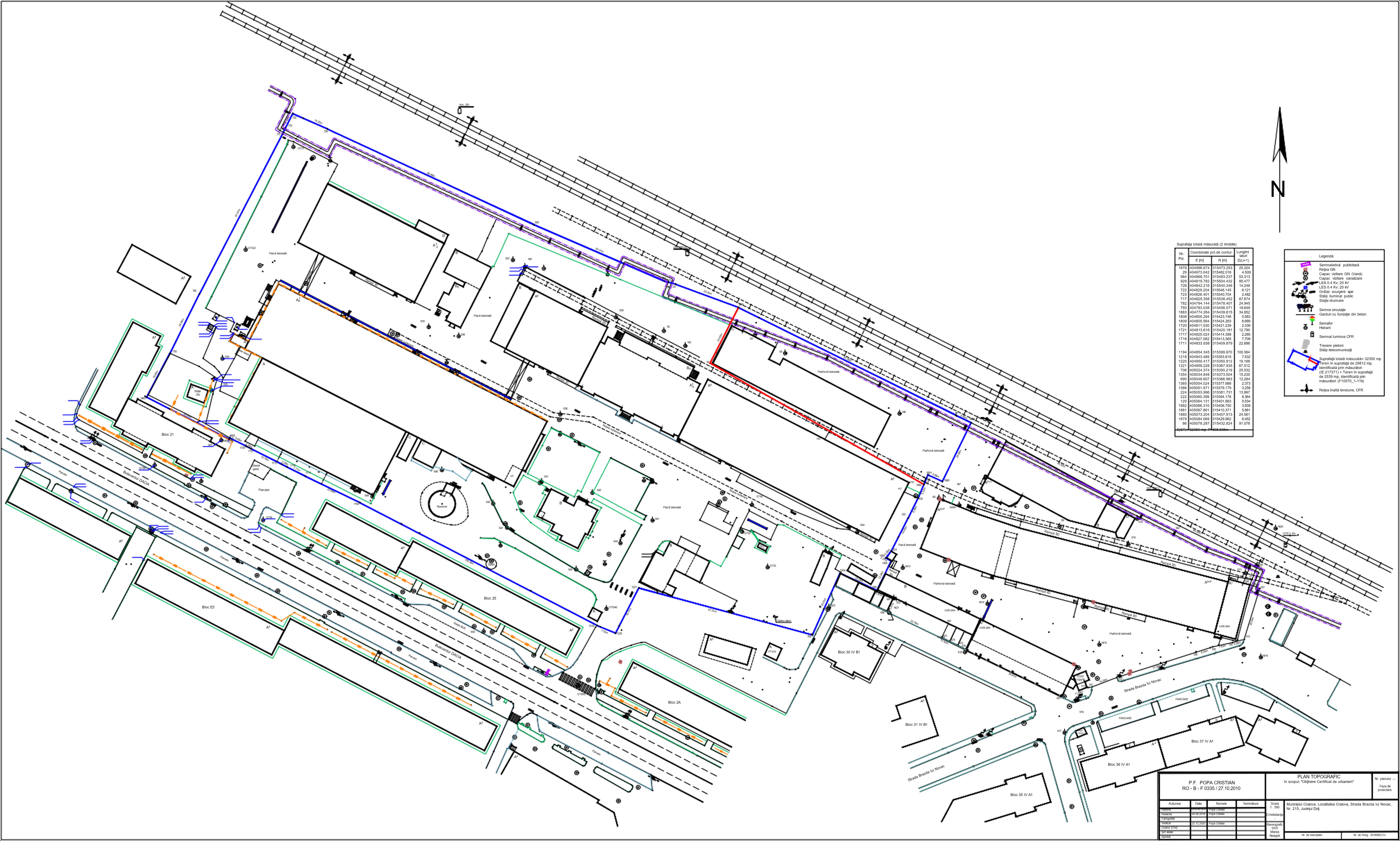
3.1ha land parcel
Situated on Craiova’s northern inner ring road, this plot of land is in the immediate vicinity of the city’s train station (0.62mi) and the northern coach station (0.68mi) as well as one of the city’s main roads (Bulevardul Carol). On top of these important transportation routes, there are a couple of other notable venues within walking distance:
- “Stefan Velovan” National College (grades 0-12): 0.75mi
- “Nicolae Titulescu” National College (grades 0-12): 0.43mi
- DVLA/DVSA and Passport Offices: 0.75mi
- NHS Offices: 0.53mi
- Brazda Open Market: 0.28mi
- Train Station Open Market: 0.68mi
- Lidl: 0.75mi
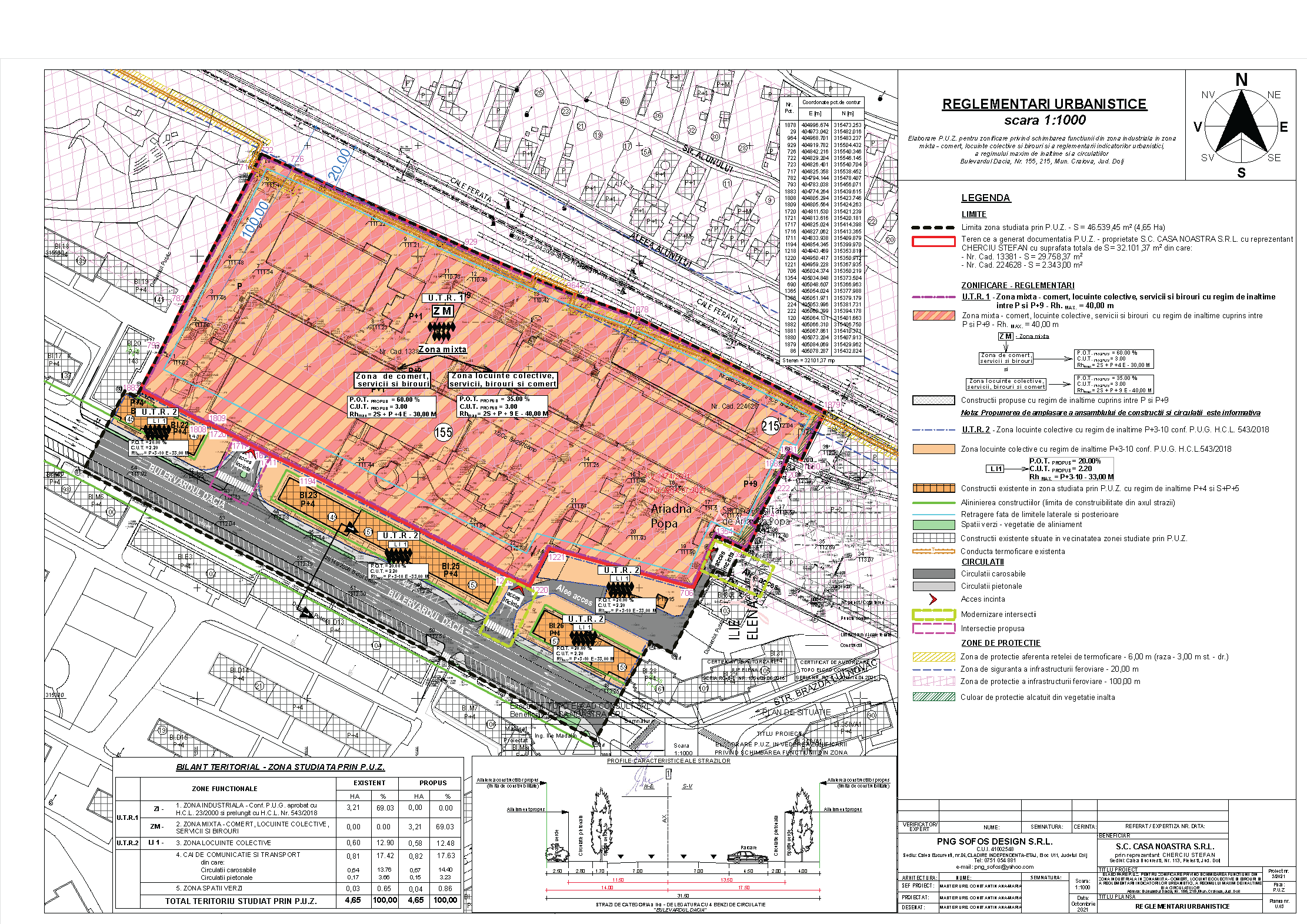
The location has full access to utilities (water, gas, sewage and electricity) and all on-site buildings have been demolished except for the highlighted (bright pink) one in the following plan because it is in the process of becoming a historical landmark.
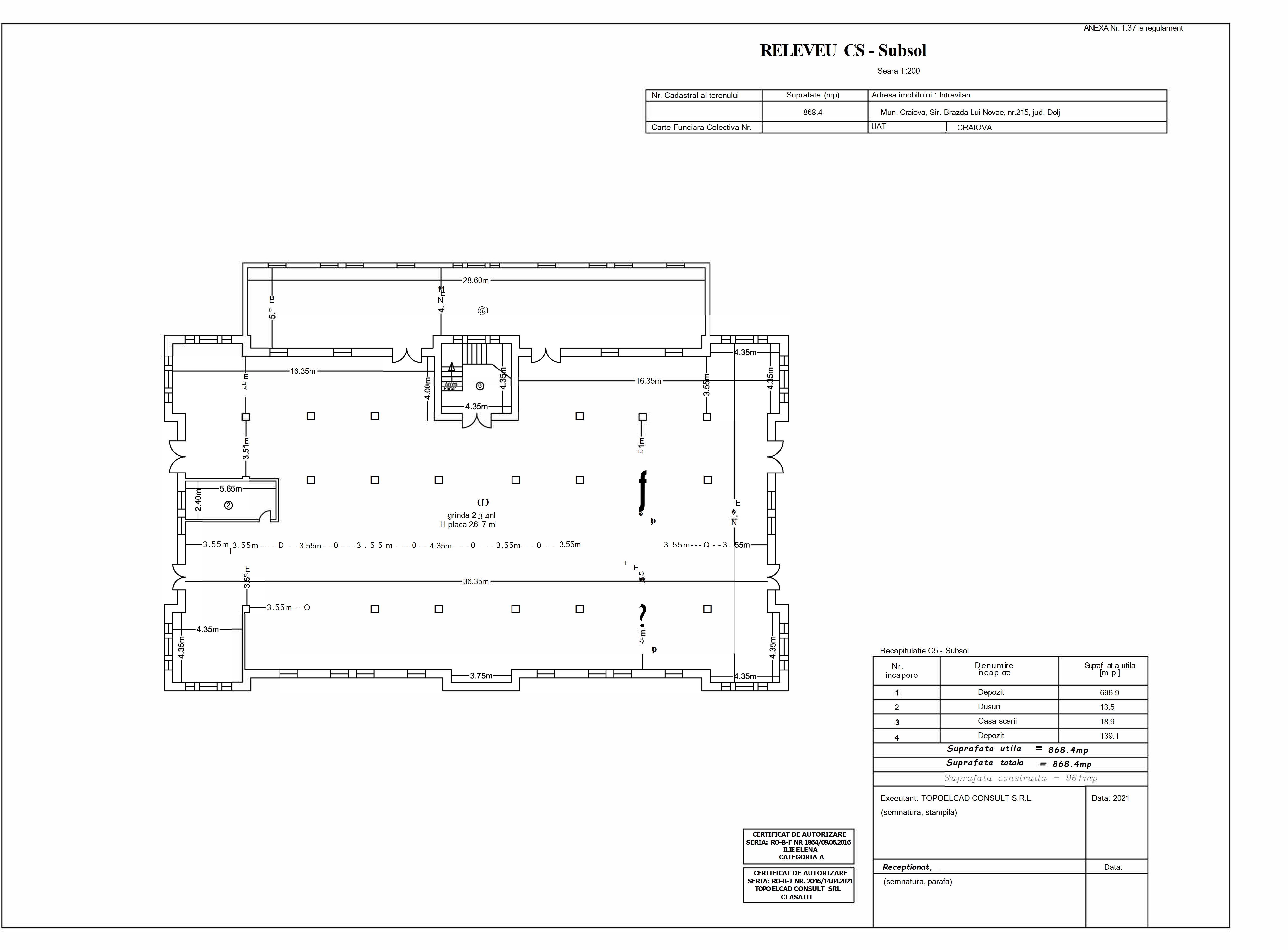
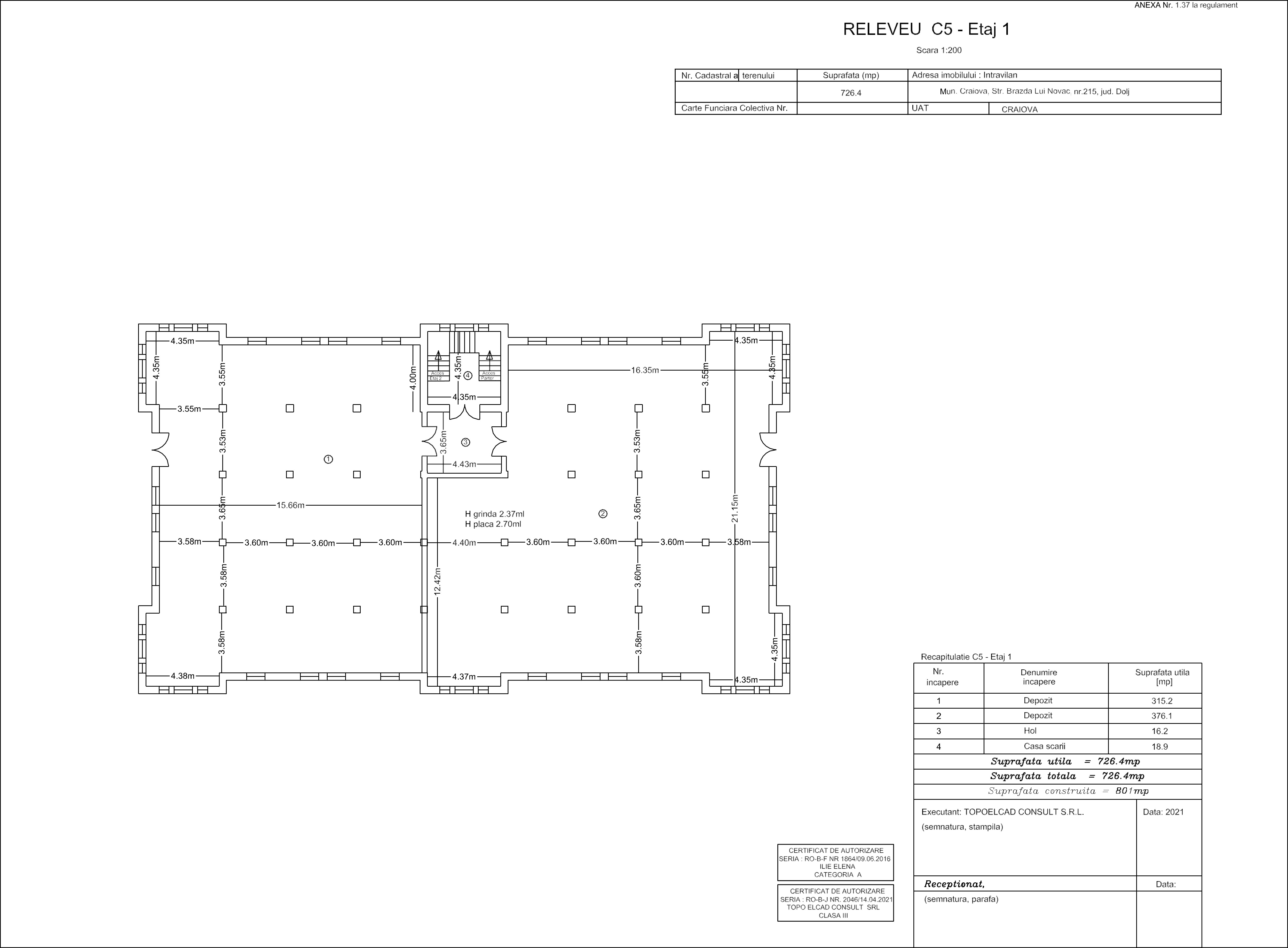
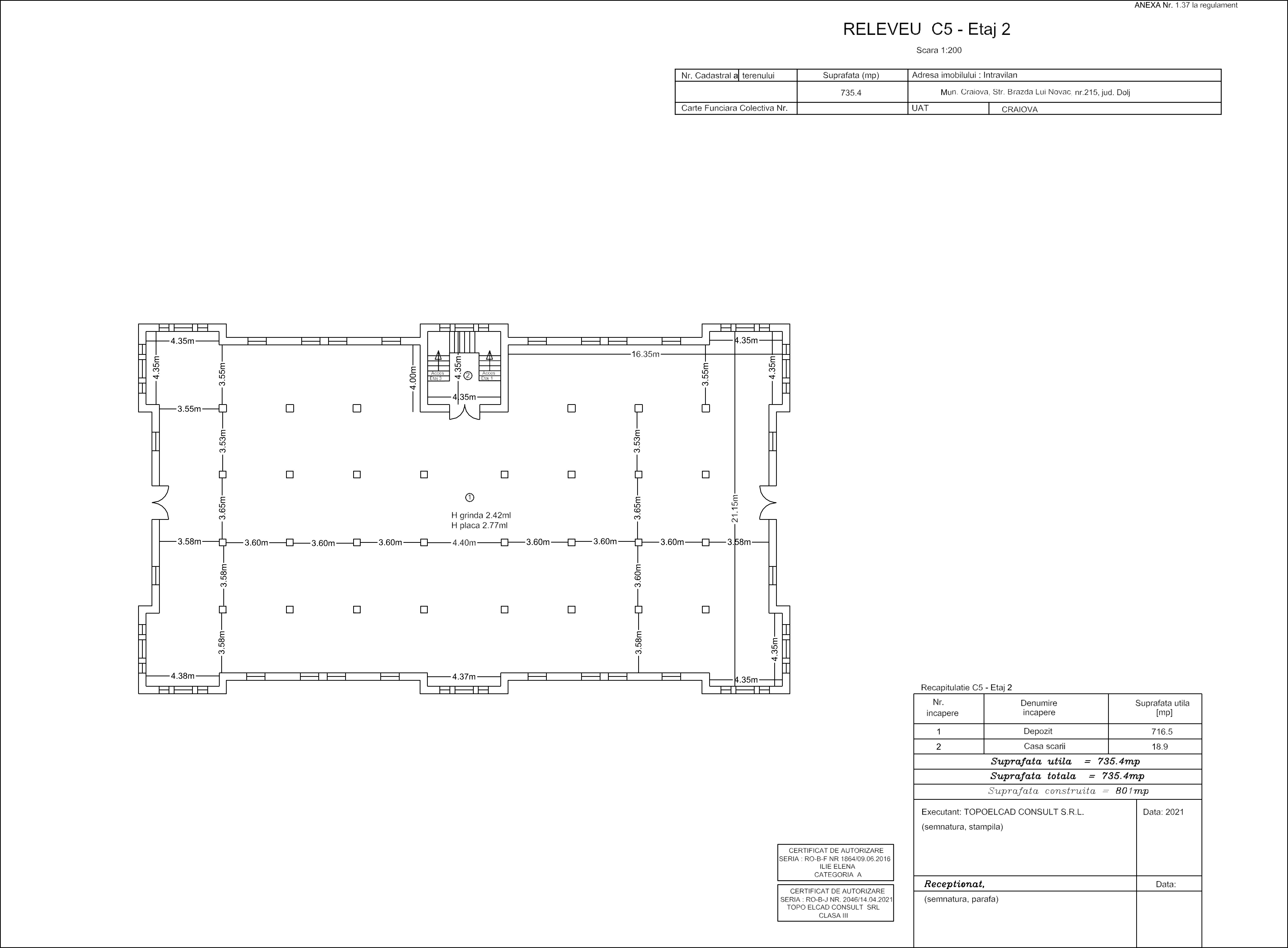
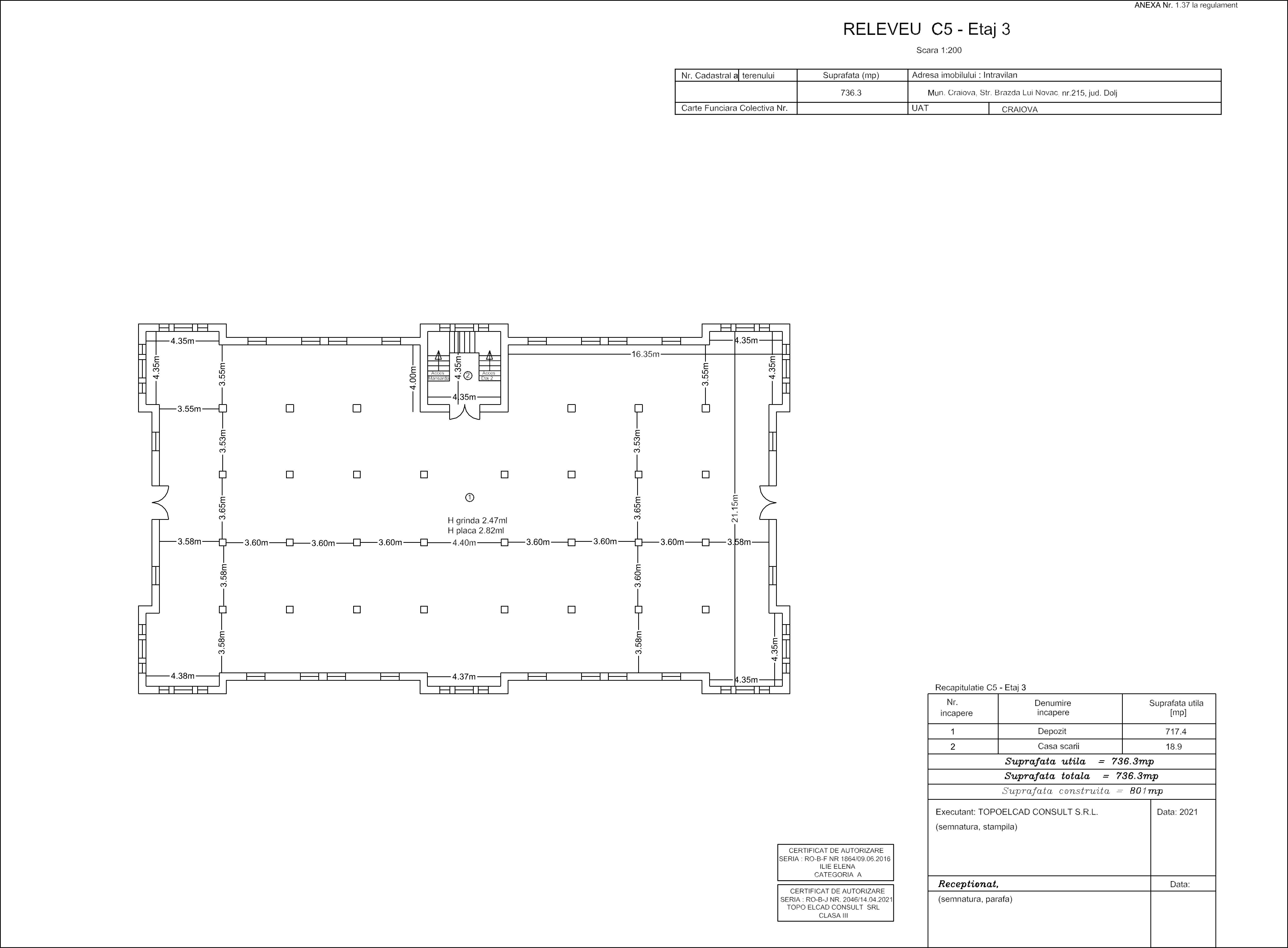
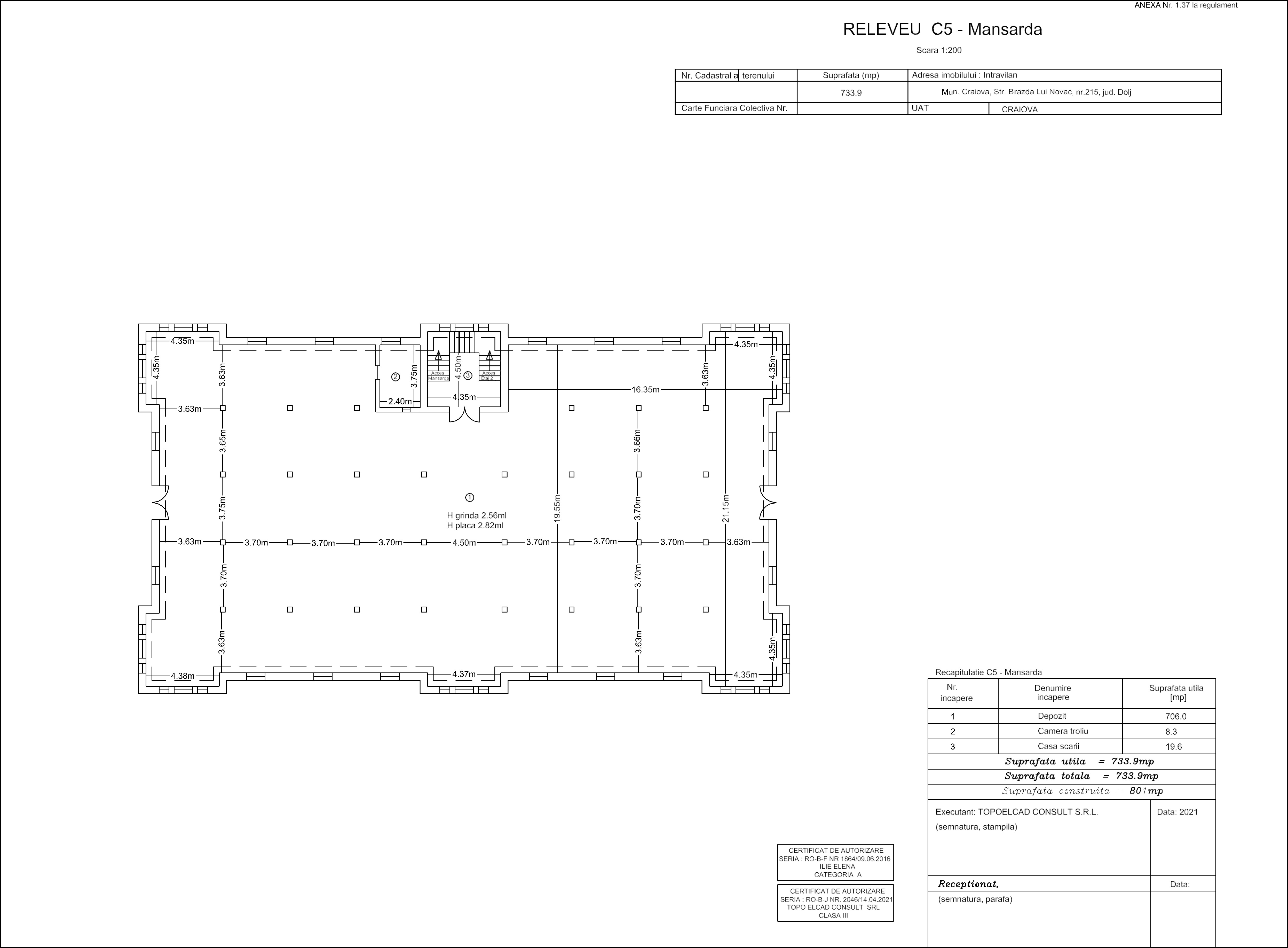
Historical Landmark – Tobacco Distribution Center:
Floor layouts:
Additionally, its location on the inner ring road (Bulevardul Decebal and Bulevardul Dacia) and close to Bulevardul Carol permits people living or working in the area to easily access two of the city’s main public transportation routes: E1R/E1T and Route 1 as well as five other routes that start from the train station: Route 13, Route 17b, Route 20 and Route 25. While all of these routes provide access to virtually the whole city either directly or through a single change, this list will outline some of the major points of interests accessible:
E1R/E1T Route
- Electroputere Mall: 2.30mi by car
- County Hospital: 2.42mi by car
- University of Medicine and Pharmacy: 2.42mi by car
- “Fratii Buzesti” National College (grades 0-12): 2.42mi by car
- “Carol I” National College (grades 0-12): 1.74mi by car
- “Elena Cuza” National College (grades 0-12): 1.74mi by car
- “Nicolae Romanescu” Park: 2.73mi by car
Route 1
- High Street: 1.80mi by car
- University of Craiova: 1.80mi by car
- Southern Coach Station: 3.23mi by car
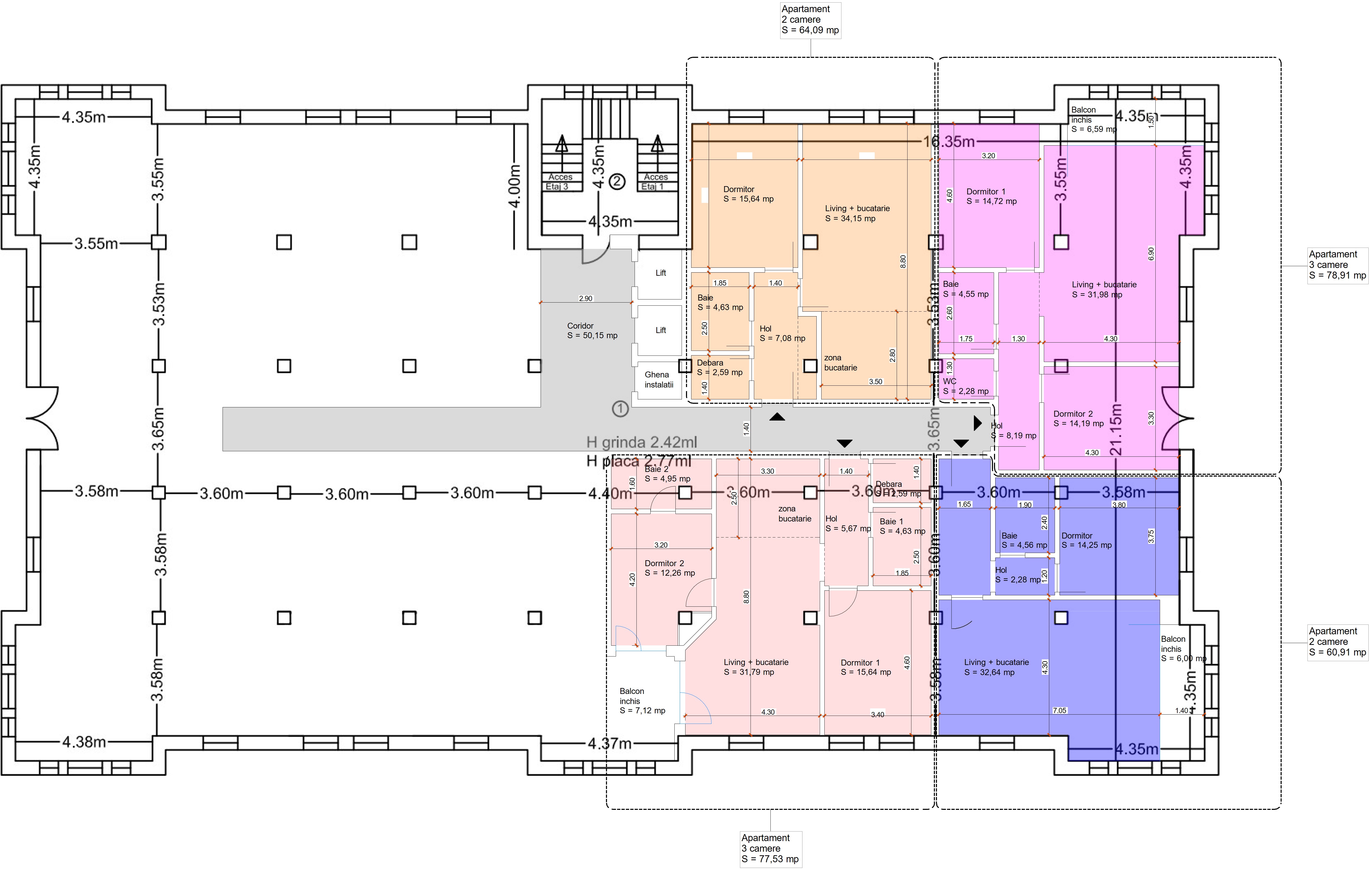
Residential Development layout suggestion:
- High Street: 1.80mi by car
- University of Craiova: 1.80mi by car
- Southern Coach Station: 3.23mi by car
Residential Development layout suggestion:
Other places that can be easily reached by car include superstores on the outskirts of the city like Kaufland (1.99mi), Selgros and Dedeman (4.23mi) and Metro (4.60mi) opposite of which lies the local airport. Additionally, all other main important transportation routes are linked through the inner ring road (4-lane single carriageway) and the outer ring road (2-lane single carriageway).
